Crowdsourced Maps: Identifying Microbarriers in Real Time

As technology develops, so does mapping software. Real-time mapping is on the rise to increase the precision of identifying roadblocks in order make travel easier in varying conditions.
Nexar, an artificial-intelligence (AI) computer vision company, has released CityStream Live, a real-time mapping platform.
This platform enables the mobility industry, including connected vehicles, maps, mobility services, digital twins or smart city applications, to access a continuous stream of fresh, crowdsourced road data. Only with real-time data can vehicles really know what’s coming their way, react to varying speed limits, avoid work zones, find parking and someday drive themselves. [Source]

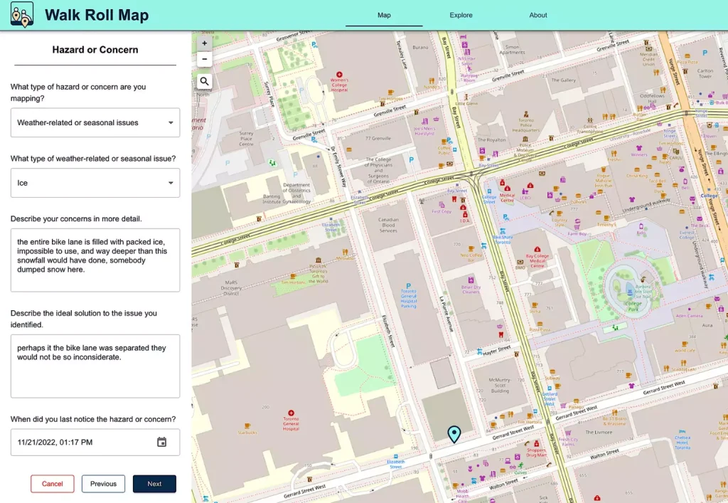
Walk Roll Map is another new platform for crowdsourcing microbarriers that affect pedestrians, wheelchair users, and cyclists trying to get around their city safely. They define a microbarrier as: “Anything that makes it harder (or maybe even impossible!) to walk or roll safely or comfortably in your community. It might be a missing crosswalk, uneven payment, or unplowed snow. Whatever it is that is getting in your way, or missing (e.g. bench or washroom) we want to know what it is and where!” [Source]


